Check out the freshly released September issue of the Cartographer’s Annual 2013. TJ Vandel, an amazing fantasy cartographer and Cartographer’s Guild regular (user name Schwarzkreuz), created a huge selection of bitmap symbols for your mapping pleasure. We compiled them into this new overland style.
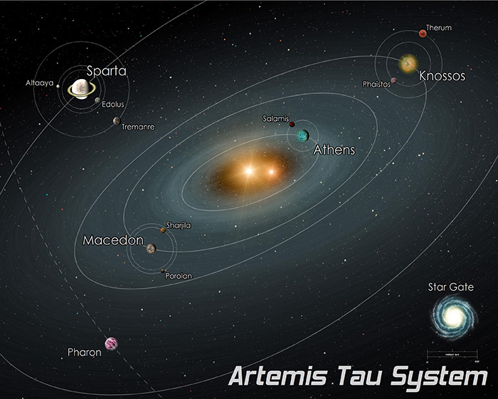
Joe has been so kind to create a video tutorial to go with this month’s Annual issue (High Space System Maps). Way to go, Joe!
We have just released the August issue of the Cartographer’s Annual 2013. Check out the easy-to-use sci fi style for creating stunning star system charts. The bitmap artwork has been created by Joseph Sweeney of Storyweaver and you can use the style to create charts matching his High Space game maps.
Subscribers can download the issue from their registration page. If you haven’t subscribed to the Annual 2013, you can do so here.
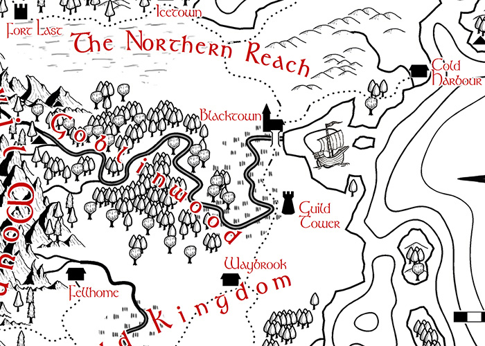
 The July issue of the Cartographer’s Annual 2013 is now available. Check out Pär Lindström’s beautiful black & white overland style.
Subscribers can download the issue from their registration page. If you haven’t subscribed to the Annual 2013, you can do so here.
 Dear Cartographers, welcome to the June newsletter!
News
- The June issue of the Annual 2013 has been released. Subscribe here.
- Check out a preview of the July Annual (by Pär Lindström).
- Character Artist 3 is coming together nicely. Here are some previews.
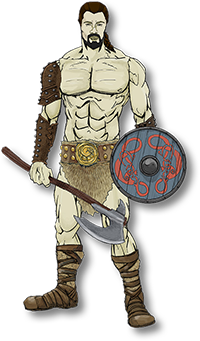
- Simon Rogers shows up new icon graphics for Campaign Cartographer 3.
Resources
- The June and May collections of community user maps include tons of gorgeous map artwork.
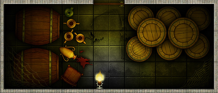
- Mysterious East meets Weird West in the Deadlands setting in this floorplan of a Chinatown block.
Map-Making Articles
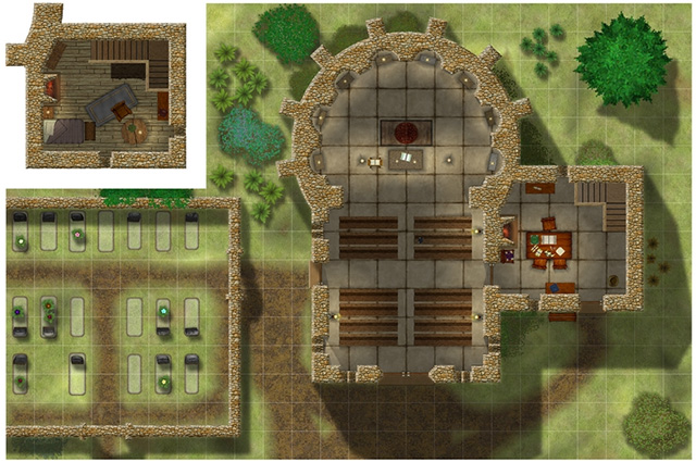
- Master Mapper Joachim de Ravenbel has created a detailed tutorial on doing floorplans.
Again, we’ve got a ton of great new user maps to present. The month goes by so quickly and still they continue to pile up. Let’s see what we’ve got…
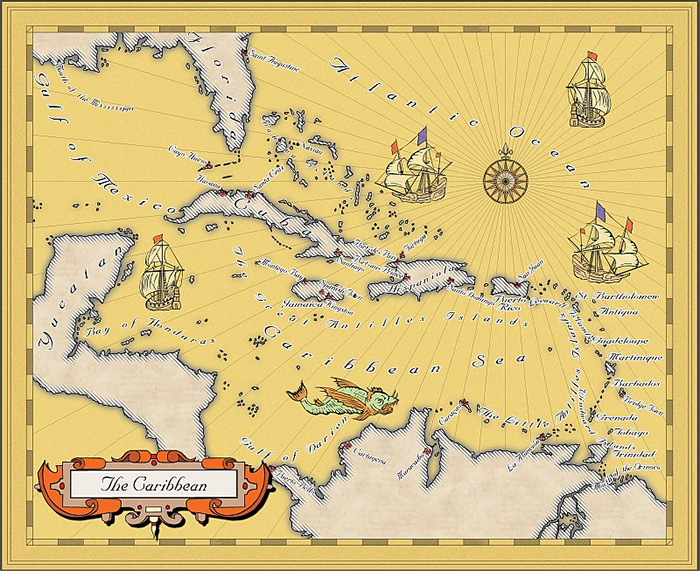
First there is the BlindMapMaker with this gorgeous rendition of the Caribbean Sea in the Mercator Historical style. Way to start this round-up!
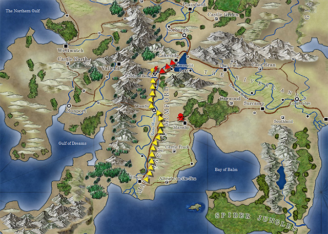
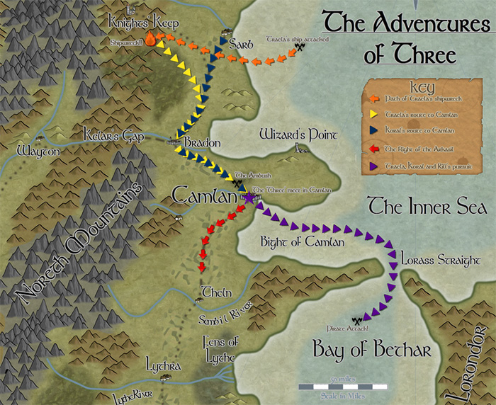
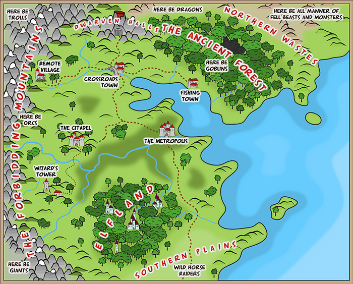
TolrendorDM used the May Annual style on a Pär Lindström Regional style map to depict three journeys on that map. This is exactly how I imagined the style to be used.
Continue reading »
Here’s a little preview of the upcoming July annual by Pär Lindström. Check out his nice black and white style.
You can subscribe to the Cartographer’s Annual 2013 here.
We’ve just released the June issue of the Cartographer’s Annual 2013. Check out the Comic Book look of this vector overland style.
This style has been inspired by the artwork of illustrator James Stowe.
It’s time for our monthly look at what great maps the ProFantasy user community has produced. Let’s see what everyone has come up with!
Joachim de Ravenbel is back with this beautiful battle map of Hanin’s Chapel.
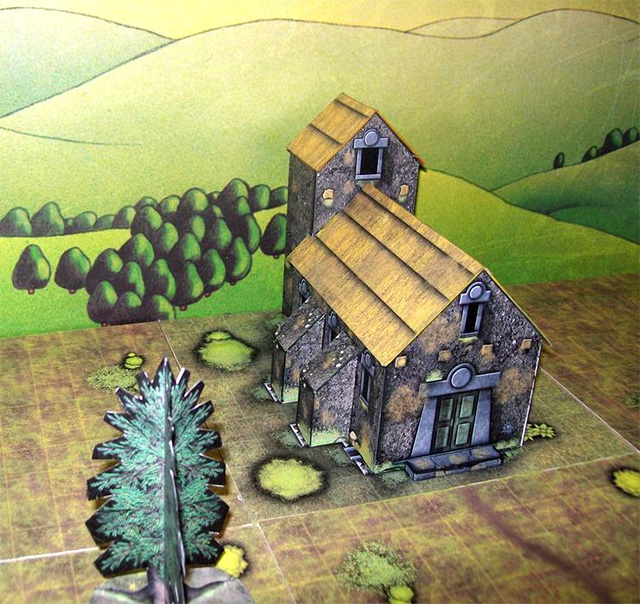
KROM delights once more with his Dioramas models plus floorplans. See his Mausoleum and the Kothian Houses:
Continue reading »
The May issue of the Cartographer’s Annual 2013 is now available. It contains a set of symbols to highlight actions, points of interest or reference material on your maps, as well as a series of tutorials on how to create more vector symbols yourself.
Here is last month’s example map, with some of the this month’s symbols highlighting a military campaign.