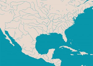
 The August Annual is here and introduces a new resource and method for importing real-world data in CC3. Not relying on Fractal Terrains 3, we take public domain vector data from the Natural Earth project (in ESRI format for the initiated) and convert it to DXF files, which in turn can be imported into CC3.
This opens the door to easily include real-world coastlines, country and state borders, rivers and all sorts of other data in your CC3 map. You can just create your own beautiful map of earth or a specific country, or use it as a basis for alternate earths, possible futures and other deviations.
As a subscriber you can download the August Annual issue from your registration page. If you haven’t subscribed to the Annual 2014, you can do so here.